
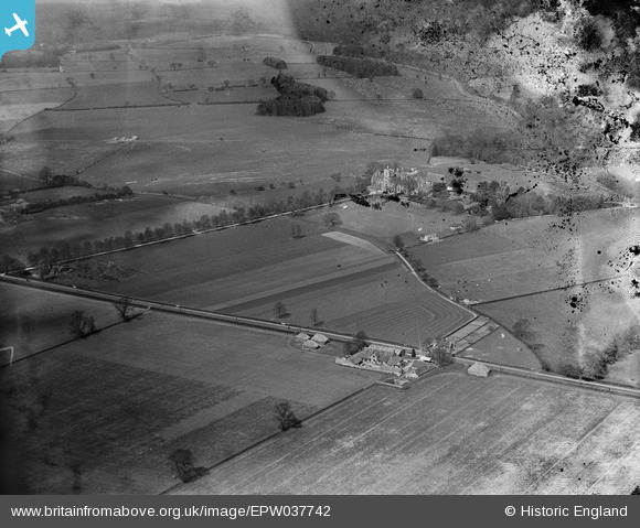
EPW037742 ENGLAND (1932). The Royal Agricultural College, Royal Agricultural Veterinary Hospital and surrounding countryside, Cirencester, 1932. This image has been produced from a damaged negative.
© Hawlfraint cyfranwyr OpenStreetMap a thrwyddedwyd gan yr OpenStreetMap Foundation. 2026. Trwyddedir y gartograffeg fel CC BY-SA.
Delweddau cyfagos (4)
EPW037742

EPW037743

EPW037739

EPW037741

Manylion
| Pennawd | [EPW037742] The Royal Agricultural College, Royal Agricultural Veterinary Hospital and surrounding countryside, Cirencester, 1932. This image has been produced from a damaged negative. |
| Cyfeirnod | EPW037742 |
| Dyddiad | May-1932 |
| Dolen | |
| Enw lle | CIRENCESTER |
| Plwyf | CIRENCESTER |
| Ardal | |
| Gwlad | ENGLAND |
| Dwyreiniad / Gogleddiad | 400654, 201054 |
| Hydred / Lledred | -1.9905340910803, 51.707763198443 |
| Cyfeirnod Grid Cenedlaethol | SP007011 |
Pinnau

Class31 |
Thursday 24th of January 2013 08:57:39 PM |