
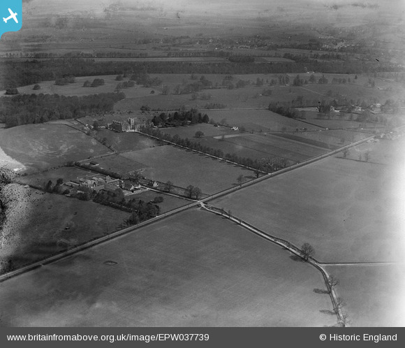
EPW037739 ENGLAND (1932). The Royal Agricultural College, College Farm and surrounding countryside, Cirencester, 1932
© Hawlfraint cyfranwyr OpenStreetMap a thrwyddedwyd gan yr OpenStreetMap Foundation. 2026. Trwyddedir y gartograffeg fel CC BY-SA.
Delweddau cyfagos (2)
EPW037739

EPW037742

Manylion
| Pennawd | [EPW037739] The Royal Agricultural College, College Farm and surrounding countryside, Cirencester, 1932 |
| Cyfeirnod | EPW037739 |
| Dyddiad | May-1932 |
| Dolen | |
| Enw lle | CIRENCESTER |
| Plwyf | CIRENCESTER |
| Ardal | |
| Gwlad | ENGLAND |
| Dwyreiniad / Gogleddiad | 400555, 200831 |
| Hydred / Lledred | -1.9919673590316, 51.705758046866 |
| Cyfeirnod Grid Cenedlaethol | SP006008 |
Pinnau

Class31 |
Thursday 24th of January 2013 08:59:17 PM |