
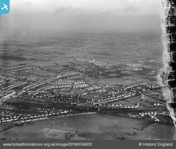
EPW034800 ENGLAND (1931). Northwick Circle and environs, Kenton, from the south-west, 1931
© Hawlfraint cyfranwyr OpenStreetMap a thrwyddedwyd gan yr OpenStreetMap Foundation. 2026. Trwyddedir y gartograffeg fel CC BY-SA.
Delweddau cyfagos (6)
EPW034800

EPW044065

EPW034801

EPW016639

EPW034804

EPW016651

Manylion
| Pennawd | [EPW034800] Northwick Circle and environs, Kenton, from the south-west, 1931 |
| Cyfeirnod | EPW034800 |
| Dyddiad | 27-January-1931 |
| Dolen | |
| Enw lle | KENTON |
| Plwyf | |
| Ardal | |
| Gwlad | ENGLAND |
| Dwyreiniad / Gogleddiad | 517249, 188301 |
| Hydred / Lledred | -0.30762794384841, 51.580883554652 |
| Cyfeirnod Grid Cenedlaethol | TQ172883 |
Pinnau

ADarbin |
Monday 26th of January 2026 12:50:52 AM | |
|
The Laird |
Monday 18th of November 2019 11:08:49 PM | |
|
The Laird |
Friday 3rd of April 2015 01:08:54 PM | |
|
divingdave |
Wednesday 29th of October 2014 02:45:08 PM | |
|
divingdave |
Wednesday 29th of October 2014 02:39:39 PM |