
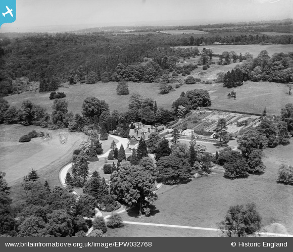
EPW032768 ENGLAND (1930). Nyn Park, Northaw, from the south, 1930
© Hawlfraint cyfranwyr OpenStreetMap a thrwyddedwyd gan yr OpenStreetMap Foundation. 2026. Trwyddedir y gartograffeg fel CC BY-SA.
Delweddau cyfagos (17)
EPW032768

EPW032769

EPW032276

EPW032264

EPW032265

EPW032275

EPW032268

EPW032766

EPW032274

EPW032772

EPW032266

EPW032260

EPW032261

EPW032270

EPW032272

EPW032262

EPW032767

Manylion
| Pennawd | [EPW032768] Nyn Park, Northaw, from the south, 1930 |
| Cyfeirnod | EPW032768 |
| Dyddiad | June-1930 |
| Dolen | |
| Enw lle | NORTHAW |
| Plwyf | NORTHAW AND CUFFLEY |
| Ardal | |
| Gwlad | ENGLAND |
| Dwyreiniad / Gogleddiad | 527858, 202990 |
| Hydred / Lledred | -0.14921032384382, 51.710595255978 |
| Cyfeirnod Grid Cenedlaethol | TL279030 |
Pinnau

totoro |
Friday 12th of May 2017 10:12:37 PM |