
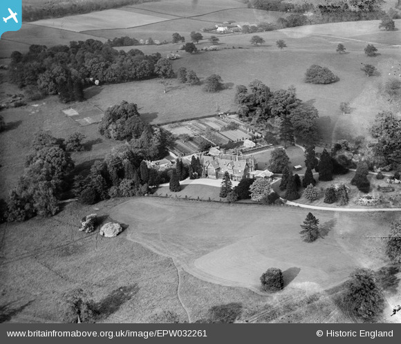
EPW032261 ENGLAND (1930). Nyn Park and surrounding countryside, Northaw, 1930
© Hawlfraint cyfranwyr OpenStreetMap a thrwyddedwyd gan yr OpenStreetMap Foundation. 2026. Trwyddedir y gartograffeg fel CC BY-SA.
Delweddau cyfagos (17)
EPW032261

EPW032260

EPW032268

EPW032275

EPW032264

EPW032274

EPW032276

EPW032766

EPW032772

EPW032265

EPW032769

EPW032262

EPW032767

EPW032768

EPW032266

EPW032270

EPW032273

Manylion
| Pennawd | [EPW032261] Nyn Park and surrounding countryside, Northaw, 1930 |
| Cyfeirnod | EPW032261 |
| Dyddiad | 4-June-1930 |
| Dolen | |
| Enw lle | NORTHAW |
| Plwyf | NORTHAW AND CUFFLEY |
| Ardal | |
| Gwlad | ENGLAND |
| Dwyreiniad / Gogleddiad | 527848, 203127 |
| Hydred / Lledred | -0.14930472905181, 51.711828821185 |
| Cyfeirnod Grid Cenedlaethol | TL278031 |
