
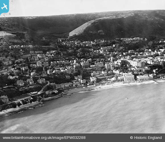
EPW032288 ENGLAND (1930). Ventnor Bay, the town centre, Boniface Down and Littleton Down, Ventnor, from the south, 1930
© Hawlfraint cyfranwyr OpenStreetMap a thrwyddedwyd gan yr OpenStreetMap Foundation. 2026. Trwyddedir y gartograffeg fel CC BY-SA.
Delweddau cyfagos (22)
EPW032288

EPW023098

EPW022977

EPW039654

EPW043013

EPW039653

EPW022979

EAW022209

EAW038592

EAW015242

EAW022207

EAW038594

EPW043010

EPW022983

EPW039656

EAW015243

EPW032286

EPW043014

EPW023099

EPW000777

EPW022987

EPW022982

Manylion
| Pennawd | [EPW032288] Ventnor Bay, the town centre, Boniface Down and Littleton Down, Ventnor, from the south, 1930 |
| Cyfeirnod | EPW032288 |
| Dyddiad | June-1930 |
| Dolen | |
| Enw lle | VENTNOR |
| Plwyf | VENTNOR |
| Ardal | |
| Gwlad | ENGLAND |
| Dwyreiniad / Gogleddiad | 456062, 77317 |
| Hydred / Lledred | -1.2078901515417, 50.592298243814 |
| Cyfeirnod Grid Cenedlaethol | SZ561773 |
Pinnau

flubber |
Tuesday 20th of November 2012 10:41:26 PM |