
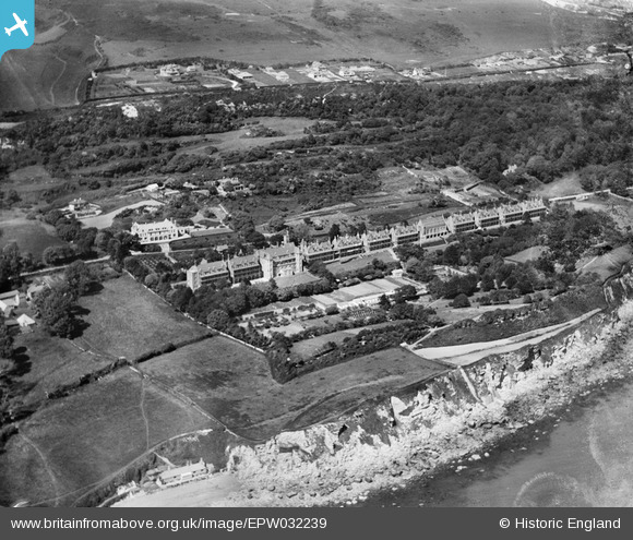
EPW032239 ENGLAND (1930). The Royal National Hospital for Diseases of the Chest, hospital gardens and Steephill, Ventnor, 1930
© Hawlfraint cyfranwyr OpenStreetMap a thrwyddedwyd gan yr OpenStreetMap Foundation. 2026. Trwyddedir y gartograffeg fel CC BY-SA.
Delweddau cyfagos (13)
EPW032239

EPW032237

EPW032242

EPW022980

EPW043012

EPW032240

EPW032238

EPW032236

EPW032233

EPW032244

EPW032243

EPW032231

EPW032235

Manylion
| Pennawd | [EPW032239] The Royal National Hospital for Diseases of the Chest, hospital gardens and Steephill, Ventnor, 1930 |
| Cyfeirnod | EPW032239 |
| Dyddiad | June-1930 |
| Dolen | |
| Enw lle | VENTNOR |
| Plwyf | VENTNOR |
| Ardal | |
| Gwlad | ENGLAND |
| Dwyreiniad / Gogleddiad | 454668, 76916 |
| Hydred / Lledred | -1.227643299686, 50.588824268647 |
| Cyfeirnod Grid Cenedlaethol | SZ547769 |
Pinnau
Byddwch y cyntaf i ychwanegu sylw at y ddelwedd hon!