
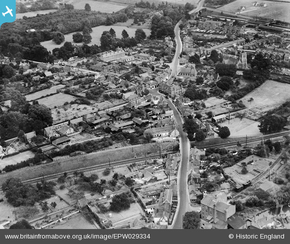
EPW029334 ENGLAND (1929). The High Street and the village centre, Twyford, 1929
© Hawlfraint cyfranwyr OpenStreetMap a thrwyddedwyd gan yr OpenStreetMap Foundation. 2026. Trwyddedir y gartograffeg fel CC BY-SA.
Delweddau cyfagos (7)
EPW029334

EPW029335

EAW041734

EPW029333

EAW041735

EPW029337

EAW041736

Manylion
| Pennawd | [EPW029334] The High Street and the village centre, Twyford, 1929 |
| Cyfeirnod | EPW029334 |
| Dyddiad | September-1929 |
| Dolen | |
| Enw lle | TWYFORD |
| Plwyf | TWYFORD |
| Ardal | |
| Gwlad | ENGLAND |
| Dwyreiniad / Gogleddiad | 478712, 176022 |
| Hydred / Lledred | -0.86646991785912, 51.477188630607 |
| Cyfeirnod Grid Cenedlaethol | SU787760 |
Pinnau

LibraryCraig |
Friday 21st of July 2023 03:05:44 PM | |
|
LibraryCraig |
Friday 21st of July 2023 03:04:37 PM | |
|
LibraryCraig |
Friday 21st of July 2023 03:03:41 PM |