
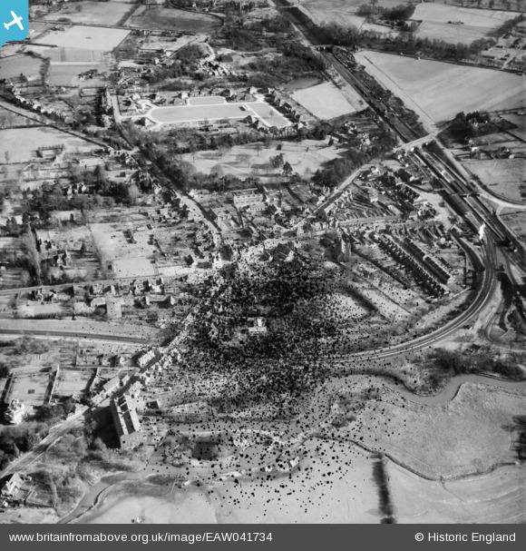
EAW041734 ENGLAND (1952). The village, Twyford, 1952. This image has been produced from a damaged negative.
© Hawlfraint cyfranwyr OpenStreetMap a thrwyddedwyd gan yr OpenStreetMap Foundation. 2026. Trwyddedir y gartograffeg fel CC BY-SA.
Delweddau cyfagos (10)
EAW041734

EPW029333

EPW029337

EAW041735

EPW029335

EPW029334

EPW029338

EPW029339

EAW041737

EAW041736

Manylion
| Pennawd | [EAW041734] The village, Twyford, 1952. This image has been produced from a damaged negative. |
| Cyfeirnod | EAW041734 |
| Dyddiad | 20-February-1952 |
| Dolen | |
| Enw lle | TWYFORD |
| Plwyf | TWYFORD |
| Ardal | |
| Gwlad | ENGLAND |
| Dwyreiniad / Gogleddiad | 478813, 175960 |
| Hydred / Lledred | -0.86502956155478, 51.476617136445 |
| Cyfeirnod Grid Cenedlaethol | SU788760 |
Pinnau

Norske |
Monday 15th of June 2026 01:20:43 PM | |
|
designking |
Friday 27th of September 2019 10:55:31 PM | |
|
designking |
Wednesday 21st of September 2016 03:55:23 PM | |
|
John Wass |
Friday 5th of June 2015 09:09:41 PM | |

Class31 |
Saturday 17th of January 2015 07:56:02 PM |
