
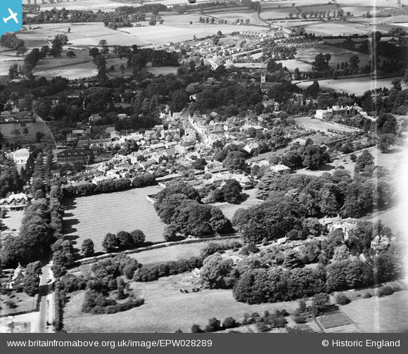
EPW028289 ENGLAND (1929). The village, Ewell, from the south-east, 1929
© Hawlfraint cyfranwyr OpenStreetMap a thrwyddedwyd gan yr OpenStreetMap Foundation. 2026. Trwyddedir y gartograffeg fel CC BY-SA.
Delweddau cyfagos (5)
EPW028289

EPW028294

EPW008684

EPW028293

EPW008696

Manylion
| Pennawd | [EPW028289] The village, Ewell, from the south-east, 1929 |
| Cyfeirnod | EPW028289 |
| Dyddiad | August-1929 |
| Dolen | |
| Enw lle | EWELL |
| Plwyf | |
| Ardal | |
| Gwlad | ENGLAND |
| Dwyreiniad / Gogleddiad | 522135, 162298 |
| Hydred / Lledred | -0.24612358163273, 51.346122326823 |
| Cyfeirnod Grid Cenedlaethol | TQ221623 |
Pinnau
Byddwch y cyntaf i ychwanegu sylw at y ddelwedd hon!