
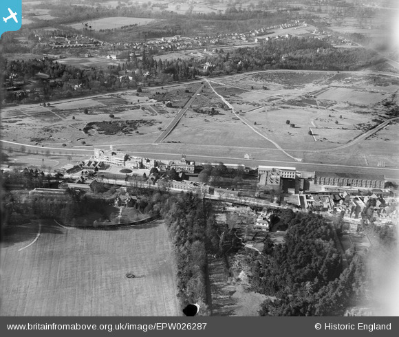
EPW026287 ENGLAND (1929). Ascot Racecourse, Ascot, from the south, 1929
© Hawlfraint cyfranwyr OpenStreetMap a thrwyddedwyd gan yr OpenStreetMap Foundation. 2026. Trwyddedir y gartograffeg fel CC BY-SA.
Delweddau cyfagos (14)
EPW026287

EPW008711

EAW042136

EPW006704

EPW026286

EPW026285

EAW021006

EPW026290

EAW042135

EPW036160

EPW006709

EPW008705

EPW006706

EPW008715

Manylion
| Pennawd | [EPW026287] Ascot Racecourse, Ascot, from the south, 1929 |
| Cyfeirnod | EPW026287 |
| Dyddiad | 25-April-1929 |
| Dolen | |
| Enw lle | ASCOT |
| Plwyf | SUNNINGHILL AND ASCOT |
| Ardal | |
| Gwlad | ENGLAND |
| Dwyreiniad / Gogleddiad | 492049, 168718 |
| Hydred / Lledred | -0.67635520786301, 51.409510891994 |
| Cyfeirnod Grid Cenedlaethol | SU920687 |
Pinnau
Byddwch y cyntaf i ychwanegu sylw at y ddelwedd hon!