
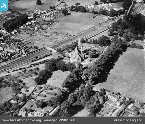
EPW023260 ENGLAND (1928). St Paul's Church, Wokingham, 1928
© Hawlfraint cyfranwyr OpenStreetMap a thrwyddedwyd gan yr OpenStreetMap Foundation. 2026. Trwyddedir y gartograffeg fel CC BY-SA.
Delweddau cyfagos (2)
EPW023260

EPW023257

Manylion
| Pennawd | [EPW023260] St Paul's Church, Wokingham, 1928 |
| Cyfeirnod | EPW023260 |
| Dyddiad | September-1928 |
| Dolen | |
| Enw lle | WOKINGHAM |
| Plwyf | WOKINGHAM |
| Ardal | |
| Gwlad | ENGLAND |
| Dwyreiniad / Gogleddiad | 480529, 168972 |
| Hydred / Lledred | -0.84191366363193, 51.413548039189 |
| Cyfeirnod Grid Cenedlaethol | SU805690 |
