
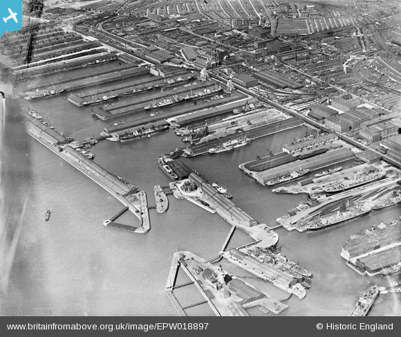
EPW018897 ENGLAND (1927). Canada Basin and docks to the north, Bootle, 1927
© Hawlfraint cyfranwyr OpenStreetMap a thrwyddedwyd gan yr OpenStreetMap Foundation. 2026. Trwyddedir y gartograffeg fel CC BY-SA.
Delweddau cyfagos (3)
EPW018897

EAW048048

EAW048050

Manylion
| Pennawd | [EPW018897] Canada Basin and docks to the north, Bootle, 1927 |
| Cyfeirnod | EPW018897 |
| Dyddiad | 17-July-1927 |
| Dolen | |
| Enw lle | BOOTLE |
| Plwyf | |
| Ardal | |
| Gwlad | ENGLAND |
| Dwyreiniad / Gogleddiad | 333198, 394497 |
| Hydred / Lledred | -3.0058353659794, 53.442748468417 |
| Cyfeirnod Grid Cenedlaethol | SJ332945 |
Pinnau
Byddwch y cyntaf i ychwanegu sylw at y ddelwedd hon!