
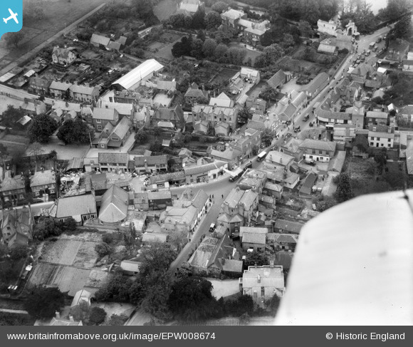
EPW008674 ENGLAND (1923). The High Street, Ewell, 1923
© Hawlfraint cyfranwyr OpenStreetMap a thrwyddedwyd gan yr OpenStreetMap Foundation. 2026. Trwyddedir y gartograffeg fel CC BY-SA.
Delweddau cyfagos (11)
EPW008674

EPW008696

EPW028293

EPW008688

EPW008684

EPW028295

EPW028294

EPW007915

EPW006246

EPW006434

EPW006404

Manylion
| Pennawd | [EPW008674] The High Street, Ewell, 1923 |
| Cyfeirnod | EPW008674 |
| Dyddiad | 1923 |
| Dolen | |
| Enw lle | EWELL |
| Plwyf | |
| Ardal | |
| Gwlad | ENGLAND |
| Dwyreiniad / Gogleddiad | 522014, 162566 |
| Hydred / Lledred | -0.24776838925204, 51.348557248313 |
| Cyfeirnod Grid Cenedlaethol | TQ220626 |
Pinnau

Maurice |
Sunday 29th of June 2014 07:22:55 AM |