
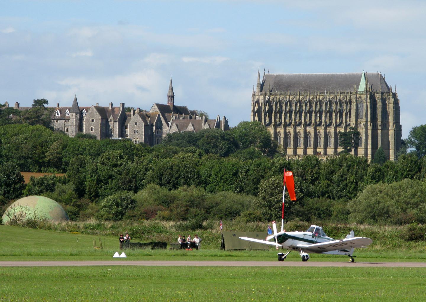
EPW000687 ENGLAND (1920). St Mary and St Nicholas College, Lancing, 1920

© Hawlfraint cyfranwyr OpenStreetMap a thrwyddedwyd gan yr OpenStreetMap Foundation. 2026. Trwyddedir y gartograffeg fel CC BY-SA.
Delweddau cyfagos (7)
EPW000687

EAW039312

EPW000724

EAW026855

EAW026854

EPW018083

EAW014363
 College, Lancing, 1948")
Manylion
| Pennawd | [EPW000687] St Mary and St Nicholas College, Lancing, 1920 |
| Cyfeirnod | EPW000687 |
| Dyddiad | April-1920 |
| Dolen | |
| Enw lle | LANCING |
| Plwyf | LANCING |
| Ardal | |
| Gwlad | ENGLAND |
| Dwyreiniad / Gogleddiad | 519527, 106525 |
| Hydred / Lledred | -0.30202410559636, 50.845325993733 |
| Cyfeirnod Grid Cenedlaethol | TQ195065 |
Pinnau

Dylan Moore |
Friday 20th of June 2014 01:24:00 PM |
Cyfraniadau Grŵp

Lancing College from Shoreham-by-Sea |

Alan McFaden |
Friday 7th of November 2014 05:36:10 PM |

Lancing College Chapel |
Alan McFaden |
Wednesday 8th of October 2014 10:16:39 AM |
Lancing College from Shoreham Airport |
Alan McFaden |
Wednesday 8th of October 2014 10:16:14 AM |

Saint Mary and Saint Nicholas College Lancing |
Alan McFaden |
Wednesday 8th of October 2014 10:15:37 AM |