
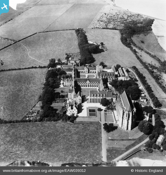
EAW039312 ENGLAND (1951). Lancing College, Lancing, 1951. This image has been produced from a damaged print.
© Hawlfraint cyfranwyr OpenStreetMap a thrwyddedwyd gan yr OpenStreetMap Foundation. 2026. Trwyddedir y gartograffeg fel CC BY-SA.
Delweddau cyfagos (7)
EAW039312

EPW000687

EPW000724

EAW026855

EAW026854

EPW018083

EAW014363
 College, Lancing, 1948")
Manylion
| Pennawd | [EAW039312] Lancing College, Lancing, 1951. This image has been produced from a damaged print. |
| Cyfeirnod | EAW039312 |
| Dyddiad | 3-September-1951 |
| Dolen | |
| Enw lle | LANCING |
| Plwyf | LANCING |
| Ardal | |
| Gwlad | ENGLAND |
| Dwyreiniad / Gogleddiad | 519500, 106544 |
| Hydred / Lledred | -0.30240128195759, 50.845502374242 |
| Cyfeirnod Grid Cenedlaethol | TQ195065 |
Pinnau
Byddwch y cyntaf i ychwanegu sylw at y ddelwedd hon!
Cyfraniadau Grŵp
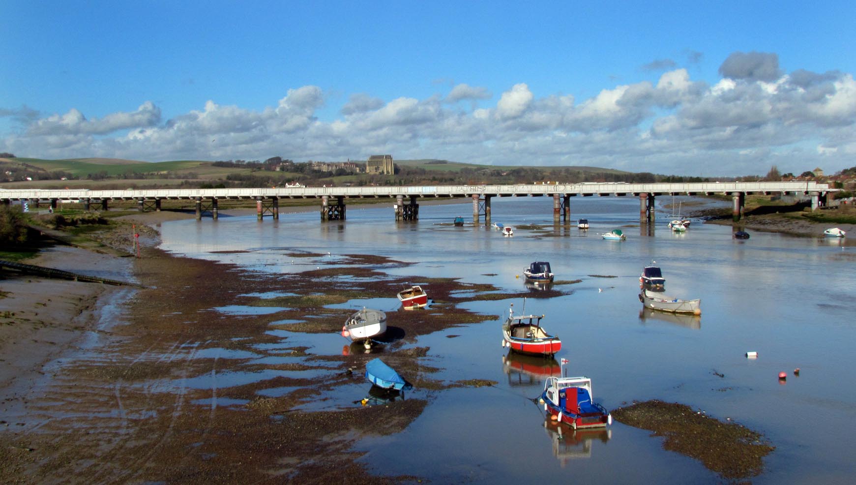
Lancing College from Shoreham-by-Sea |

Alan McFaden |
Friday 7th of November 2014 05:38:16 PM |
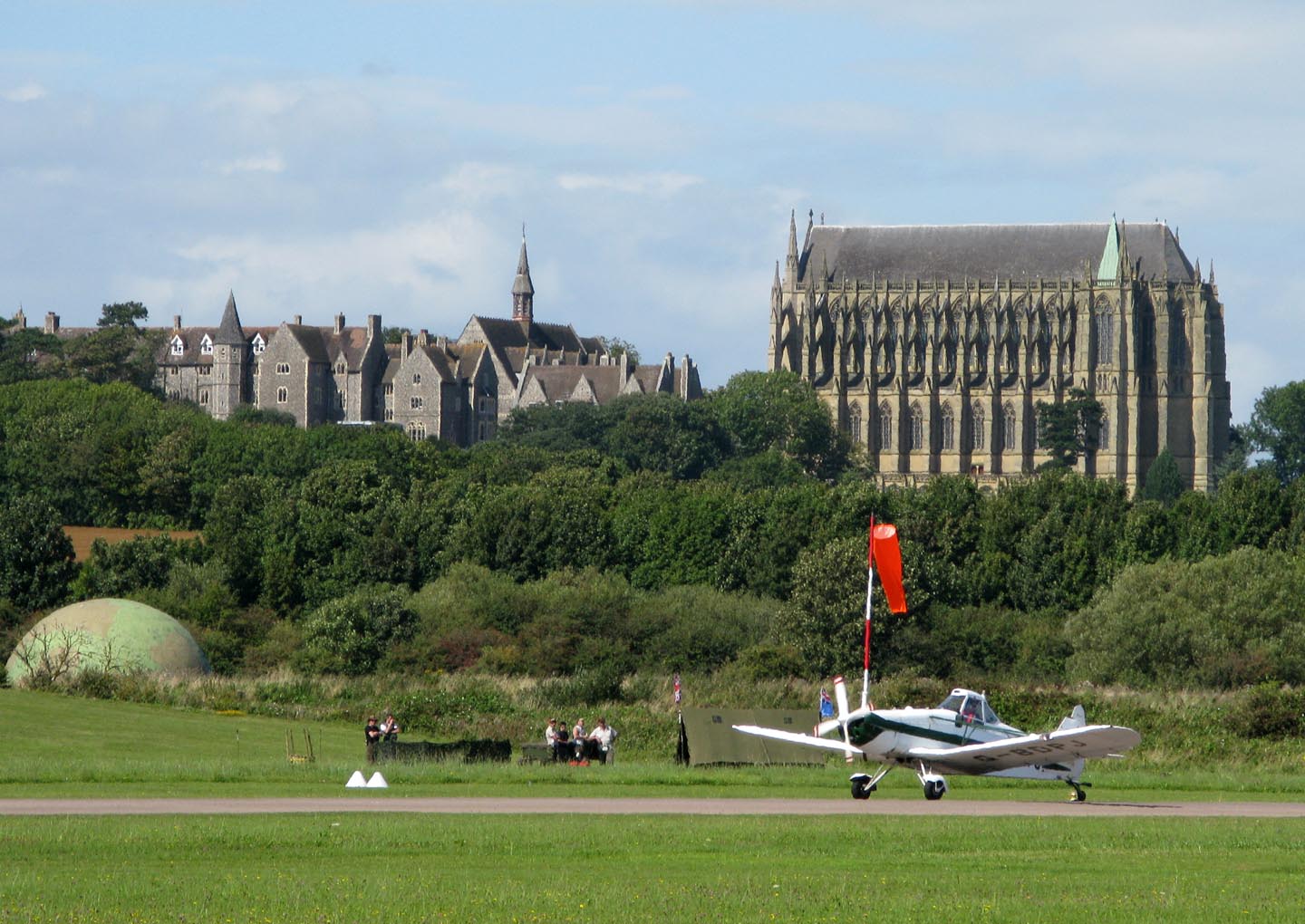
Lancing College from Shoreham Airport |
Alan McFaden |
Friday 7th of November 2014 05:37:45 PM |
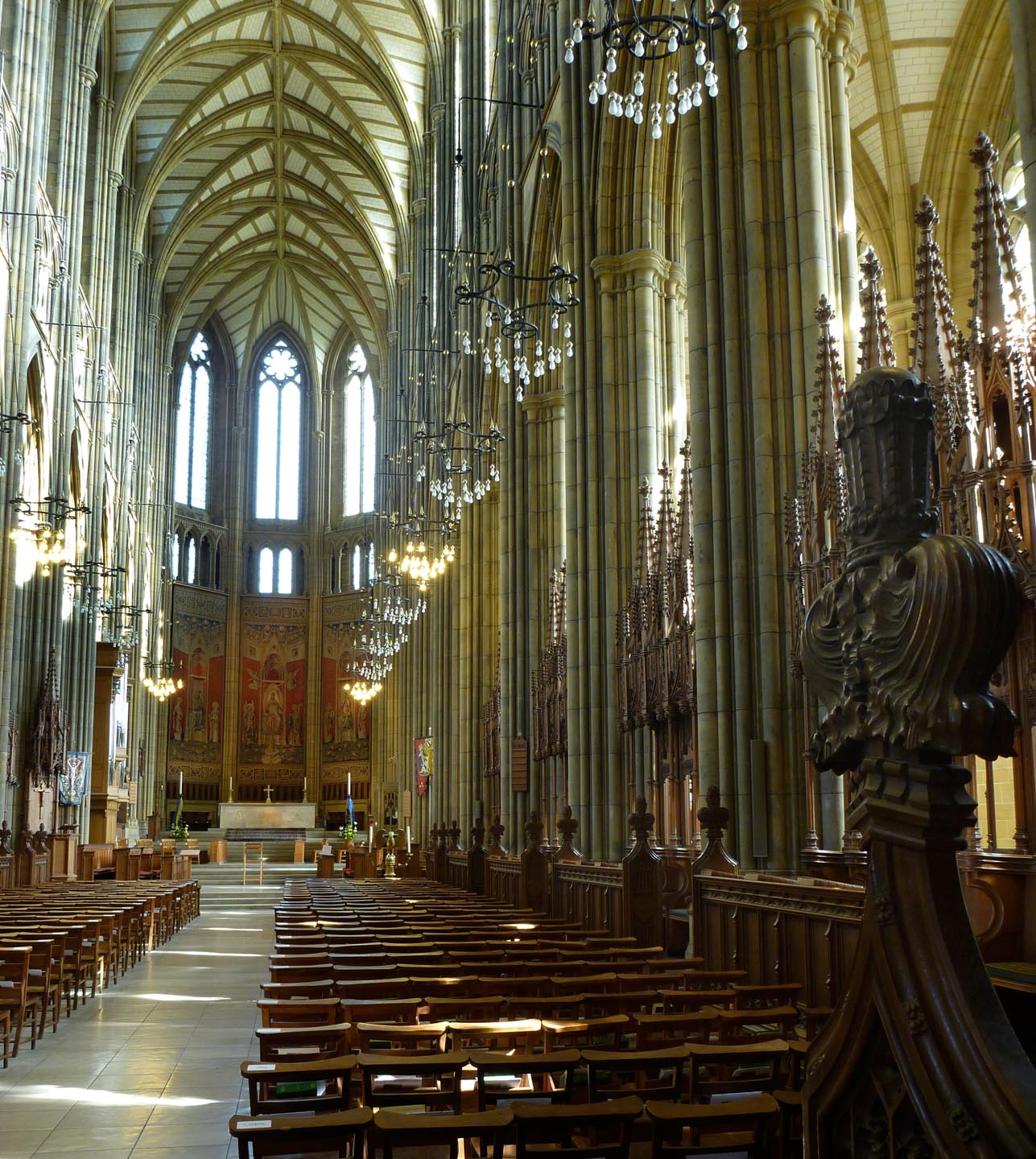
Lancing College Chapel |
Alan McFaden |
Friday 7th of November 2014 05:37:16 PM |

Lancing College |
Alan McFaden |
Friday 7th of November 2014 05:36:54 PM |