
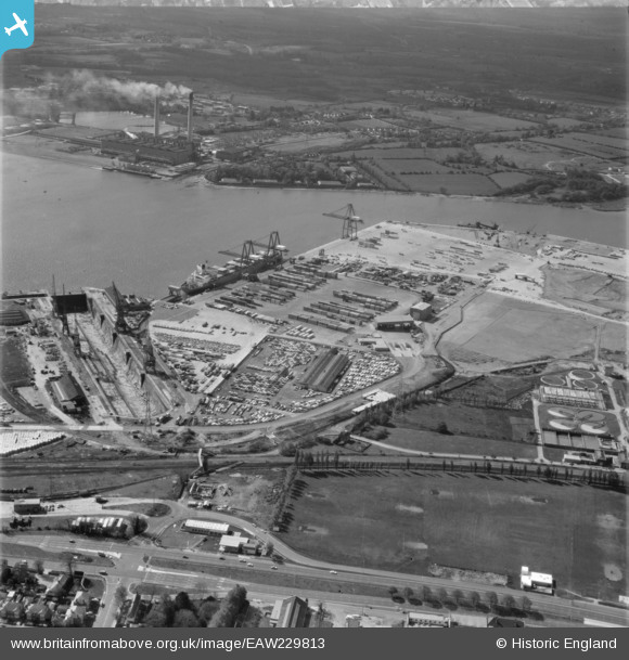
EAW229813 ENGLAND (1972). Southampton Docks, Southampton, 1972
© Hawlfraint cyfranwyr OpenStreetMap a thrwyddedwyd gan yr OpenStreetMap Foundation. 2026. Trwyddedir y gartograffeg fel CC BY-SA.
Delweddau cyfagos (9)
EAW229813

EAW004210

EPW043732

EAW001351

EAW001352

EPW043735

EPW043733

EAW004211

EPW043730

Manylion
| Pennawd | [EAW229813] Southampton Docks, Southampton, 1972 |
| Cyfeirnod | EAW229813 |
| Dyddiad | 30-April-1972 |
| Dolen | |
| Enw lle | SOUTHAMPTON |
| Plwyf | NON CIVIL PARISH |
| Ardal | |
| Gwlad | ENGLAND |
| Dwyreiniad / Gogleddiad | 439147, 112267 |
| Hydred / Lledred | -1.4431541335441, 50.907991840847 |
| Cyfeirnod Grid Cenedlaethol | SU391123 |
Pinnau

The Laird |
Monday 23rd of April 2018 12:58:37 PM | |
|
The Laird |
Monday 23rd of April 2018 12:45:53 PM | |
|
The Laird |
Monday 23rd of April 2018 12:37:28 PM | |
|
The Laird |
Monday 23rd of April 2018 12:34:09 PM |