
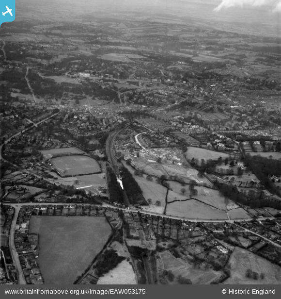
EAW053175 ENGLAND (1954). Banner Farm Estate in the early stages of construction, Tunbridge Wells Common and environs, Royal Tunbridge Wells, 1954
© Hawlfraint cyfranwyr OpenStreetMap a thrwyddedwyd gan yr OpenStreetMap Foundation. 2026. Trwyddedir y gartograffeg fel CC BY-SA.
Delweddau cyfagos (21)
EAW053175

EPW032966

EAW053167

EAW053176

EPW032960

EPW032959

EPW032964

EPW032963

EPW032968

EPW032961

EAW053174

EPW032962

EAW053171

EAW053173

EAW053168

EPW032967

EPW032971

EPW032965

EAW053172

EAW053169

EAW053170

Manylion
| Pennawd | [EAW053175] Banner Farm Estate in the early stages of construction, Tunbridge Wells Common and environs, Royal Tunbridge Wells, 1954 |
| Cyfeirnod | EAW053175 |
| Dyddiad | 22-February-1954 |
| Dolen | |
| Enw lle | ROYAL TUNBRIDGE WELLS |
| Plwyf | |
| Ardal | |
| Gwlad | ENGLAND |
| Dwyreiniad / Gogleddiad | 558807, 138697 |
| Hydred / Lledred | 0.26963339329428, 51.124984091198 |
| Cyfeirnod Grid Cenedlaethol | TQ588387 |
