
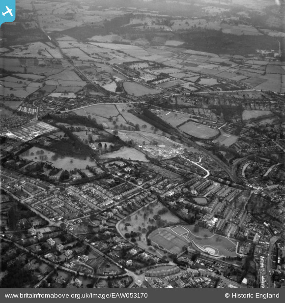
EAW053170 ENGLAND (1954). Banner Farm Estate in the early stages of construction, Camden Park and environs, Royal Tunbridge Wells, 1954
© Hawlfraint cyfranwyr OpenStreetMap a thrwyddedwyd gan yr OpenStreetMap Foundation. 2026. Trwyddedir y gartograffeg fel CC BY-SA.
Delweddau cyfagos (17)
EAW053170

EAW053169

EAW053172

EAW053168

EAW053174

EAW053173

EAW053176

EPW032971

EAW053166

EAW053175

EPW032966

EPW032960

EPW032964

EAW053167

EPW032959

EPW032962

EPW032965

Manylion
| Pennawd | [EAW053170] Banner Farm Estate in the early stages of construction, Camden Park and environs, Royal Tunbridge Wells, 1954 |
| Cyfeirnod | EAW053170 |
| Dyddiad | 22-February-1954 |
| Dolen | |
| Enw lle | ROYAL TUNBRIDGE WELLS |
| Plwyf | |
| Ardal | |
| Gwlad | ENGLAND |
| Dwyreiniad / Gogleddiad | 559010, 138587 |
| Hydred / Lledred | 0.27248365269683, 51.123939309771 |
| Cyfeirnod Grid Cenedlaethol | TQ590386 |
