
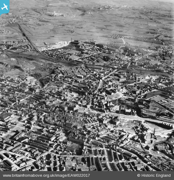
EAW022017 ENGLAND (1949). The town centre, Rochdale, from the north-west, 1949
© Hawlfraint cyfranwyr OpenStreetMap a thrwyddedwyd gan yr OpenStreetMap Foundation. 2026. Trwyddedir y gartograffeg fel CC BY-SA.
Delweddau cyfagos (6)
EAW022017

EPW016780

EPW016786

EPW016783

EPW016788

EPW016797

Manylion
| Pennawd | [EAW022017] The town centre, Rochdale, from the north-west, 1949 |
| Cyfeirnod | EAW022017 |
| Dyddiad | 14-April-1949 |
| Dolen | |
| Enw lle | ROCHDALE |
| Plwyf | |
| Ardal | |
| Gwlad | ENGLAND |
| Dwyreiniad / Gogleddiad | 389586, 413526 |
| Hydred / Lledred | -2.1574494072776, 53.617938709777 |
| Cyfeirnod Grid Cenedlaethol | SD896135 |
Pinnau

Paul Williams |
Saturday 20th of June 2026 11:50:22 AM | |
|
Chrispheath |
Tuesday 8th of July 2025 04:56:04 PM | |
|
gBr |
Thursday 11th of August 2016 12:15:47 PM | |
|
Clarkey |
Tuesday 6th of January 2015 05:06:36 PM | |
|
granemill07 |
Sunday 6th of July 2014 10:18:39 PM | |
|
granemill07 |
Sunday 6th of July 2014 10:17:59 PM | |
|
granemill07 |
Sunday 6th of July 2014 10:16:58 PM |