
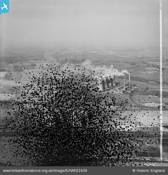
EAW021639 ENGLAND (1949). Hams Hall Power Stations A and B, Curdworth, from the south-west, 1949. This image has been produced from a damaged negative.
© Hawlfraint cyfranwyr OpenStreetMap a thrwyddedwyd gan yr OpenStreetMap Foundation. 2026. Trwyddedir y gartograffeg fel CC BY-SA.
Delweddau cyfagos (28)
EAW021639

EPW023694

EPW060884

EPW060882

EAW021642

EPW060883

EPW060886

EAW021643

EPW023682

EPW060885

EAW021641

EPW023691

EPW023686

EPW060872

EPW023687

EPW023683

EPW023684

EPW023690

EPW060880

EPW023688

EPW023692

EPW060879

EPW060878

EPW023685

EPW023681

EAW021640

EPW023680

EPW060876

Manylion
| Pennawd | [EAW021639] Hams Hall Power Stations A and B, Curdworth, from the south-west, 1949. This image has been produced from a damaged negative. |
| Cyfeirnod | EAW021639 |
| Dyddiad | 25-March-1949 |
| Dolen | |
| Enw lle | CURDWORTH |
| Plwyf | CURDWORTH |
| Ardal | |
| Gwlad | ENGLAND |
| Dwyreiniad / Gogleddiad | 419467, 291782 |
| Hydred / Lledred | -1.7130484776631, 52.523202366806 |
| Cyfeirnod Grid Cenedlaethol | SP195918 |
Pinnau
Byddwch y cyntaf i ychwanegu sylw at y ddelwedd hon!