
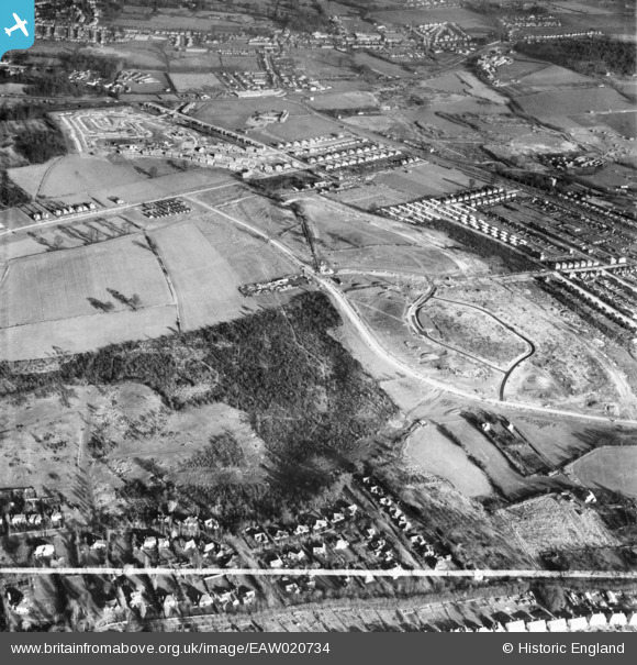
EAW020734 ENGLAND (1948). Chipperfield Road and nearby housing development, St Paul's Cray, 1948. This image was marked by Aerofilms Ltd for photo editing.
© Hawlfraint cyfranwyr OpenStreetMap a thrwyddedwyd gan yr OpenStreetMap Foundation. 2026. Trwyddedir y gartograffeg fel CC BY-SA.
Delweddau cyfagos (5)
EAW020734

EAW021758

EAW026811

EAW021759

EAW026810

Manylion
| Pennawd | [EAW020734] Chipperfield Road and nearby housing development, St Paul's Cray, 1948. This image was marked by Aerofilms Ltd for photo editing. |
| Cyfeirnod | EAW020734 |
| Dyddiad | 24-December-1948 |
| Dolen | |
| Enw lle | ST PAUL'S CRAY |
| Plwyf | |
| Ardal | |
| Gwlad | ENGLAND |
| Dwyreiniad / Gogleddiad | 546369, 169288 |
| Hydred / Lledred | 0.10452879593414, 51.403214082918 |
| Cyfeirnod Grid Cenedlaethol | TQ464693 |
Pinnau

Mike Floate |
Wednesday 31st of December 2014 06:28:02 PM | |
|
Gone2Kent |
Sunday 8th of June 2014 09:27:18 AM | |
|
Gone2Kent |
Sunday 8th of June 2014 09:25:42 AM | |
|
Gone2Kent |
Wednesday 25th of December 2013 04:54:24 PM | |
|
Gone2Kent |
Wednesday 25th of December 2013 04:53:34 PM | |
 |
Mike Floate |
Monday 23rd of December 2013 04:41:25 PM |
|
Mike Floate |
Monday 23rd of December 2013 04:32:44 PM |

