
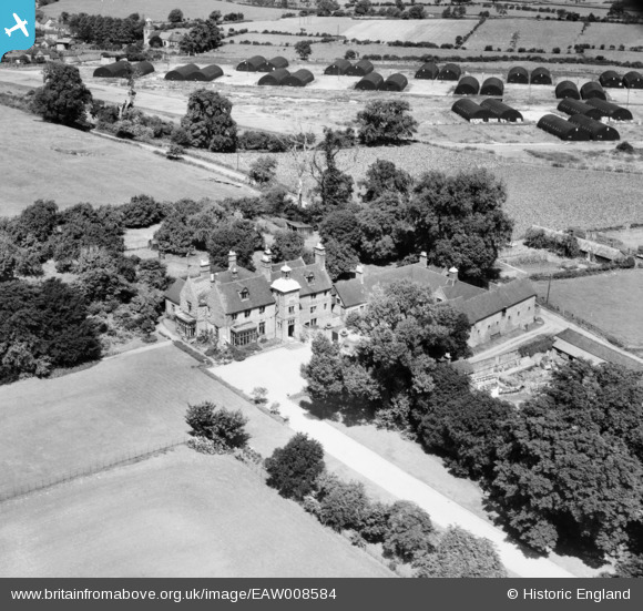
EAW008584 ENGLAND (1947). Houndhill Manor, Marchington, 1947
© Hawlfraint cyfranwyr OpenStreetMap a thrwyddedwyd gan yr OpenStreetMap Foundation. 2026. Trwyddedir y gartograffeg fel CC BY-SA.
Delweddau cyfagos (6)
EAW008584

EAW008585

EAW008586

EAW008589

EAW008587

EAW008588

Manylion
| Pennawd | [EAW008584] Houndhill Manor, Marchington, 1947 |
| Cyfeirnod | EAW008584 |
| Dyddiad | 27-July-1947 |
| Dolen | |
| Enw lle | MARCHINGTON |
| Plwyf | MARCHINGTON |
| Ardal | |
| Gwlad | ENGLAND |
| Dwyreiniad / Gogleddiad | 414196, 330374 |
| Hydred / Lledred | -1.7890787437544, 52.87033112515 |
| Cyfeirnod Grid Cenedlaethol | SK142304 |
Pinnau
Lynda Tubbs |
Tuesday 19th of November 2013 11:41:37 AM |