
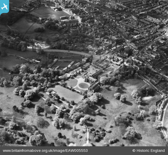
EAW005553 ENGLAND (1947). Auckland Castle and environs, Bishop Auckland, 1947. This image has been produced from a print.
© Hawlfraint cyfranwyr OpenStreetMap a thrwyddedwyd gan yr OpenStreetMap Foundation. 2026. Trwyddedir y gartograffeg fel CC BY-SA.
Delweddau cyfagos (7)
EAW005553

EAW005552

EAW005549

EAW005548

EAW033890

EAW033891

EAW033896

Manylion
| Pennawd | [EAW005553] Auckland Castle and environs, Bishop Auckland, 1947. This image has been produced from a print. |
| Cyfeirnod | EAW005553 |
| Dyddiad | 17-May-1947 |
| Dolen | |
| Enw lle | BISHOP AUCKLAND |
| Plwyf | BISHOP AUCKLAND |
| Ardal | |
| Gwlad | ENGLAND |
| Dwyreiniad / Gogleddiad | 421367, 530188 |
| Hydred / Lledred | -1.6686882496344, 54.666205375473 |
| Cyfeirnod Grid Cenedlaethol | NZ214302 |
Pinnau

Chells809 |
Saturday 29th of December 2018 09:54:14 PM | |
|
Chells809 |
Saturday 29th of December 2018 09:52:48 PM | |
|
Chells809 |
Saturday 29th of December 2018 09:51:24 PM | |
|
Chells809 |
Saturday 29th of December 2018 09:49:49 PM | |
|
Chells809 |
Saturday 29th of December 2018 09:48:39 PM | |
|
Chells809 |
Saturday 29th of December 2018 09:46:26 PM | |
|
Chells809 |
Saturday 29th of December 2018 09:45:30 PM | |
|
Chells809 |
Saturday 29th of December 2018 09:44:44 PM | |
|
Chells809 |
Thursday 22nd of March 2018 10:01:15 PM |