
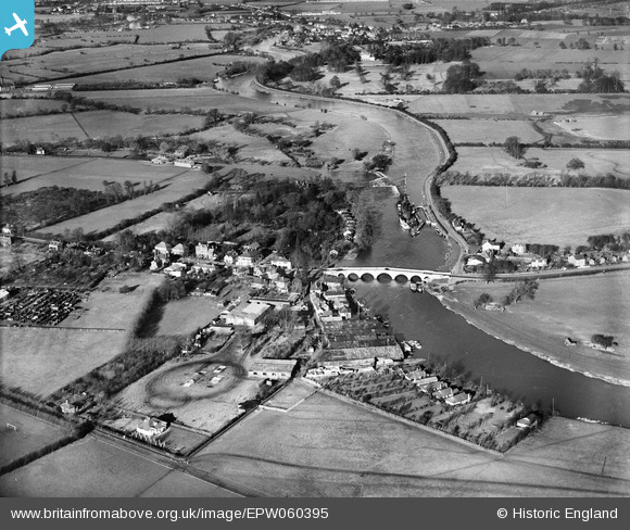
EPW060395 ENGLAND (1939). Chertsey Bridge, Chertsey, 1939
© Copyright OpenStreetMap contributors and licensed by the OpenStreetMap Foundation. 2025. Cartography is licensed as CC BY-SA.
Nearby Images (7)
EPW060395

EPW026281

EPW023373

EPW023375

EPW023374

EPW049230

EPW049235

Details
| Title | [EPW060395] Chertsey Bridge, Chertsey, 1939 |
| Reference | EPW060395 |
| Date | 13-January-1939 |
| Link | |
| Place name | CHERTSEY |
| Parish | |
| District | |
| Country | ENGLAND |
| Easting / Northing | 505344, 166688 |
| Longitude / Latitude | -0.48584599605156, 51.388947736947 |
| National Grid Reference | TQ053667 |
Pins

MB |
Friday 20th of September 2013 09:01:41 AM |