
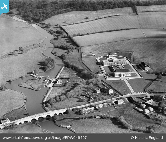
EPW049497 ENGLAND (1935). The Oxford Corporation Water Works, Swinford, 1935
© Copyright OpenStreetMap contributors and licensed by the OpenStreetMap Foundation. 2025. Cartography is licensed as CC BY-SA.
Nearby Images (7)
EPW049497

EPW049493

EPW049494

EPW049492

EPW049495

EPW049496

EPW049498

Details
| Title | [EPW049497] The Oxford Corporation Water Works, Swinford, 1935 |
| Reference | EPW049497 |
| Date | October-1935 |
| Link | |
| Place name | SWINFORD |
| Parish | CUMNOR |
| District | |
| Country | ENGLAND |
| Easting / Northing | 444544, 208605 |
| Longitude / Latitude | -1.35433105037, 51.773890223706 |
| National Grid Reference | SP445086 |
Pins

Dylan Moore |
Tuesday 28th of May 2013 05:12:21 PM | |
|
Dylan Moore |
Friday 3rd of May 2013 02:09:05 PM | |
|
Dylan Moore |
Friday 3rd of May 2013 02:08:33 PM |
User Comment Contributions
Swinford Water Works |
Dylan Moore |
Tuesday 2nd of July 2013 03:25:48 PM |
Hi Dylan, Thank you for identifying the location of this image. We'll update the catalogue and post the new record here in due course. Yours, Katy Britain from Above Cataloguing Team Leader |
Katy Whitaker |
Tuesday 2nd of July 2013 03:25:48 PM |