
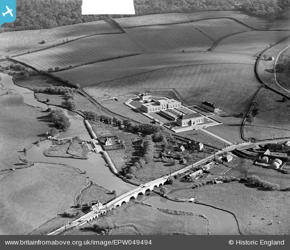
EPW049494 ENGLAND (1935). The Oxford Corporation Water Works, Swinford, 1935. This image was marked by Aerofilms Ltd for photo editing.
© Copyright OpenStreetMap contributors and licensed by the OpenStreetMap Foundation. 2025. Cartography is licensed as CC BY-SA.
Nearby Images (7)
EPW049494

EPW049492

EPW049496

EPW049497

EPW049495

EPW049498

EPW049493

Details
| Title | [EPW049494] The Oxford Corporation Water Works, Swinford, 1935. This image was marked by Aerofilms Ltd for photo editing. |
| Reference | EPW049494 |
| Date | October-1935 |
| Link | |
| Place name | SWINFORD |
| Parish | CUMNOR |
| District | |
| Country | ENGLAND |
| Easting / Northing | 444586, 208570 |
| Longitude / Latitude | -1.3537267939569, 51.773572175825 |
| National Grid Reference | SP446086 |
Pins

Dylan Moore |
Tuesday 28th of May 2013 05:11:03 PM | |
|
Dylan Moore |
Friday 3rd of May 2013 02:13:35 PM | |
|
Dylan Moore |
Friday 3rd of May 2013 02:13:09 PM | |
|
Dylan Moore |
Friday 3rd of May 2013 02:12:50 PM | |
Thanks Dylan, we'll update the catalogue and post the new record here in due course. Yours, Katy Britain from Above Cataloguing Team Leader |
Katy Whitaker |
Tuesday 2nd of July 2013 03:19:06 PM |
User Comment Contributions
Zoom in for a clear picture of the toll house. Is the gate open? |
Lynda Tubbs |
Tuesday 6th of August 2013 02:12:41 PM |