
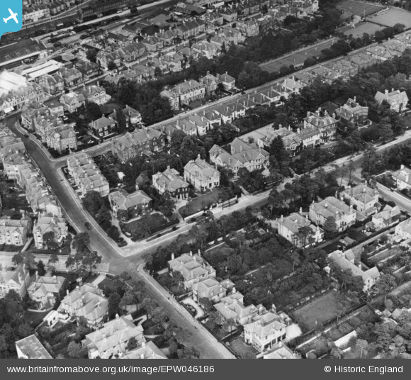
EPW046186 ENGLAND (1934). Knyveton Road and environs, Bournemouth, 1934. This image has been produced from a print.
© Copyright OpenStreetMap contributors and licensed by the OpenStreetMap Foundation. 2026. Cartography is licensed as CC BY-SA.
Nearby Images (12)
EPW046186

EPW042876

EPW042754

EPW042756

EPW042874

EPW042757

EPW042753

EPW042751

EPW042758

EPW042755

EPW042752

EPW013568

Details
| Title | [EPW046186] Knyveton Road and environs, Bournemouth, 1934. This image has been produced from a print. |
| Reference | EPW046186 |
| Date | September-1934 |
| Link | |
| Place name | BOURNEMOUTH |
| Parish | |
| District | |
| Country | ENGLAND |
| Easting / Northing | 409984, 91659 |
| Longitude / Latitude | -1.8585404044622, 50.723894602329 |
| National Grid Reference | SZ100917 |
Pins
Be the first to add a comment to this image!