
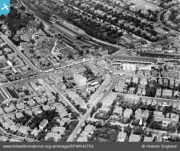
EPW042753 ENGLAND (1933). Bournemouth Station, St Paul's Church and St Swithun's Road, Bournemouth, 1933
© Copyright OpenStreetMap contributors and licensed by the OpenStreetMap Foundation. 2026. Cartography is licensed as CC BY-SA.
Nearby Images (20)
EPW042753

EPW042757

EPW042751

EPW042758

EPW042755

EPW042752

EPW042756

EPW042874

EPW042754

EPW042875

EAW033403

EPW042876

EAW033404

EAW033402

EAW033399

EAW033405

EPW042873

EAW033401

EAW033400

EPW046186

Details
| Title | [EPW042753] Bournemouth Station, St Paul's Church and St Swithun's Road, Bournemouth, 1933 |
| Reference | EPW042753 |
| Date | August-1933 |
| Link | |
| Place name | BOURNEMOUTH |
| Parish | |
| District | |
| Country | ENGLAND |
| Easting / Northing | 409833, 91785 |
| Longitude / Latitude | -1.8606765002057, 50.725030381347 |
| National Grid Reference | SZ098918 |
Pins

alastair wallace |
Monday 19th of October 2015 07:51:41 PM | |
|
micky |
Sunday 2nd of June 2013 06:29:43 PM | |
|
micky |
Sunday 2nd of June 2013 06:28:01 PM |