
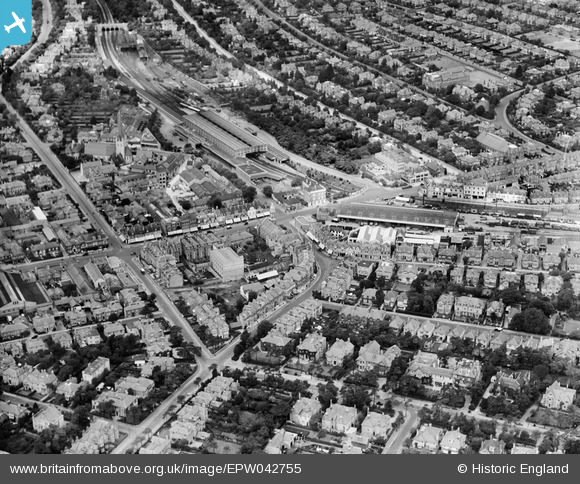
EPW042755 ENGLAND (1933). Bournemouth Station, St Paul's Church and the town centre, Bournemouth, 1933
© Copyright OpenStreetMap contributors and licensed by the OpenStreetMap Foundation. 2026. Cartography is licensed as CC BY-SA.
Nearby Images (20)
EPW042755

EPW042758

EPW042753

EPW042757

EPW042752

EPW042751

EPW042874

EAW033403

EAW033404

EPW042756

EAW033399

EAW033402

EAW033405

EPW042754

EAW033401

EAW033400

EPW042875

EPW042876

EPW042873

EPW046186

Details
| Title | [EPW042755] Bournemouth Station, St Paul's Church and the town centre, Bournemouth, 1933 |
| Reference | EPW042755 |
| Date | August-1933 |
| Link | |
| Place name | BOURNEMOUTH |
| Parish | |
| District | |
| Country | ENGLAND |
| Easting / Northing | 409836, 91824 |
| Longitude / Latitude | -1.8606329529115, 50.725381083854 |
| National Grid Reference | SZ098918 |
Pins

Gtx_Chris |
Saturday 29th of October 2022 08:37:52 PM | |

Peter Kazmierczak |
Friday 13th of September 2013 10:34:25 PM | |
|
Peter Kazmierczak |
Friday 13th of September 2013 10:33:14 PM | |
|
Peter Kazmierczak |
Friday 13th of September 2013 10:30:29 PM | |
|
Peter Kazmierczak |
Friday 13th of September 2013 10:29:04 PM | |
|
Peter Kazmierczak |
Friday 13th of September 2013 10:28:12 PM | |
|
Peter Kazmierczak |
Friday 13th of September 2013 10:27:32 PM | |
|
Peter Kazmierczak |
Friday 13th of September 2013 10:25:09 PM |