
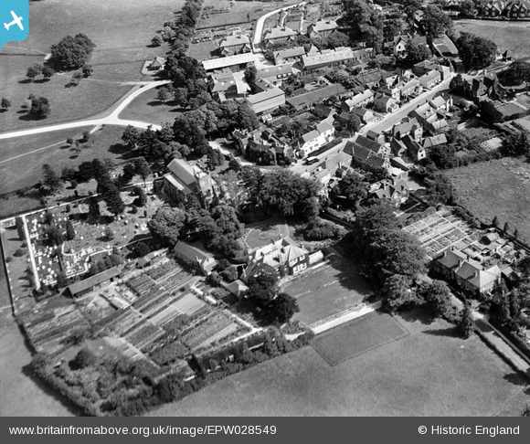
EPW028549 ENGLAND (1929). St Alban's Church and the village centre, Frant, 1929
© Copyright OpenStreetMap contributors and licensed by the OpenStreetMap Foundation. 2026. Cartography is licensed as CC BY-SA.
Nearby Images (12)
EPW028549

EPW028554

EAW001467

EAW001468

EPW028553

EAW003546

EAW002295

EAW002294

EPW028552

EAW001466

EAW003099

EPW050336

Details
| Title | [EPW028549] St Alban's Church and the village centre, Frant, 1929 |
| Reference | EPW028549 |
| Date | August-1929 |
| Link | |
| Place name | FRANT |
| Parish | FRANT |
| District | |
| Country | ENGLAND |
| Easting / Northing | 559003, 135637 |
| Longitude / Latitude | 0.27108337149846, 51.097432462015 |
| National Grid Reference | TQ590356 |
Pins
Be the first to add a comment to this image!