
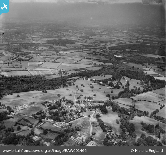
EAW001466 ENGLAND (1946). The village and surrounding countryside, Frant, from the south, 1946
© Copyright OpenStreetMap contributors and licensed by the OpenStreetMap Foundation. 2026. Cartography is licensed as CC BY-SA.
Nearby Images (6)
EAW001466

EPW028553

EPW028552

EPW028549

EPW028554

EAW001467

Details
| Title | [EAW001466] The village and surrounding countryside, Frant, from the south, 1946 |
| Reference | EAW001466 |
| Date | 3-July-1946 |
| Link | |
| Place name | FRANT |
| Parish | FRANT |
| District | |
| Country | ENGLAND |
| Easting / Northing | 559045, 135428 |
| Longitude / Latitude | 0.27159068989386, 51.095542727196 |
| National Grid Reference | TQ590354 |
Pins

redmist |
Saturday 13th of November 2021 09:57:47 PM | |

Sparky |
Saturday 23rd of September 2017 09:58:48 AM | |
Not a pillbox. Albert Memorial Well. |

Matt Aldred edob.mattaldred.com |
Tuesday 1st of July 2025 09:43:44 PM |