
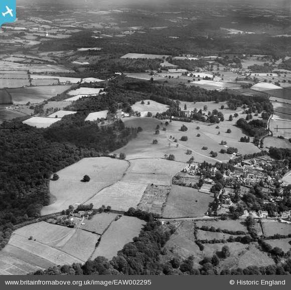
EAW002295 ENGLAND (1946). Countryside between the village, Chase Wood and Ely Grange, Frant, from the west, 1946
© Copyright OpenStreetMap contributors and licensed by the OpenStreetMap Foundation. 2026. Cartography is licensed as CC BY-SA.
Nearby Images (12)
EAW002295

EAW003546

EAW002294

EAW001468

EAW003099

EPW028549

EAW003101

EPW028554

EAW001467

EAW003102

EPW028553

EAW003103

Details
| Title | [EAW002295] Countryside between the village, Chase Wood and Ely Grange, Frant, from the west, 1946 |
| Reference | EAW002295 |
| Date | 21-August-1946 |
| Link | |
| Place name | FRANT |
| Parish | FRANT |
| District | |
| Country | ENGLAND |
| Easting / Northing | 558866, 135720 |
| Longitude / Latitude | 0.26916473430799, 51.098216284347 |
| National Grid Reference | TQ589357 |
