
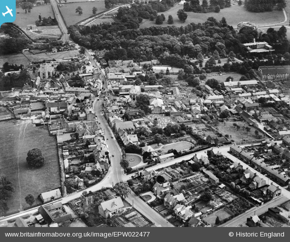
EPW022477 ENGLAND (1928). The town centre, Tring, 1928
© Copyright OpenStreetMap contributors and licensed by the OpenStreetMap Foundation. 2026. Cartography is licensed as CC BY-SA.
Nearby Images (9)
EPW022477

EPW022476

EPW001243

EPW001246

EPW056445

EAW048776

EPW056444

EPW022475

EPW001240

Details
| Title | [EPW022477] The town centre, Tring, 1928 |
| Reference | EPW022477 |
| Date | 9-August-1928 |
| Link | |
| Place name | TRING |
| Parish | TRING |
| District | |
| Country | ENGLAND |
| Easting / Northing | 492299, 211325 |
| Longitude / Latitude | -0.66154583236073, 51.792503625825 |
| National Grid Reference | SP923113 |
Pins

IR |
Wednesday 12th of February 2014 03:37:03 PM |