
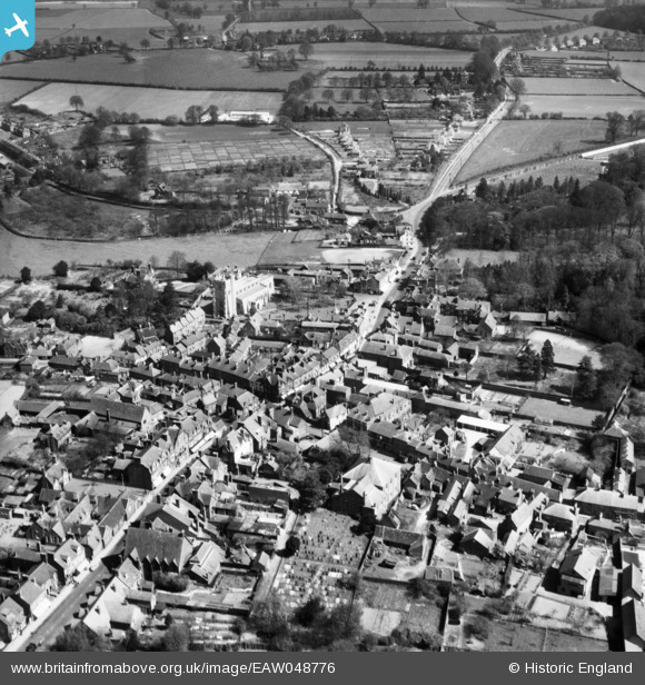
EAW048776 ENGLAND (1953). St Peter and St Paul's Church and the High Street, Tring, 1953
© Copyright OpenStreetMap contributors and licensed by the OpenStreetMap Foundation. 2026. Cartography is licensed as CC BY-SA.
Nearby Images (8)
EAW048776

EPW056444

EPW056445

EPW022476

EPW001246

EPW022477

EAW045717

EPW001243

Details
| Title | [EAW048776] St Peter and St Paul's Church and the High Street, Tring, 1953 |
| Reference | EAW048776 |
| Date | 22-April-1953 |
| Link | |
| Place name | TRING |
| Parish | TRING |
| District | |
| Country | ENGLAND |
| Easting / Northing | 492421, 211428 |
| Longitude / Latitude | -0.65974974627421, 51.793409405477 |
| National Grid Reference | SP924114 |
Pins
Be the first to add a comment to this image!