
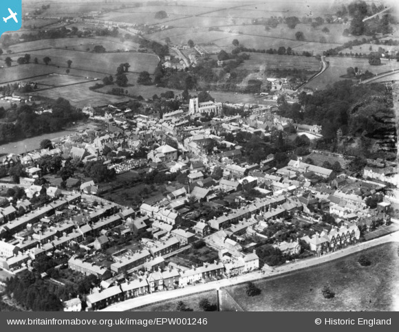
EPW001246 ENGLAND (1920). The town, Tring, 1920. This image has been produced from a print.
© Copyright OpenStreetMap contributors and licensed by the OpenStreetMap Foundation. 2026. Cartography is licensed as CC BY-SA.
Nearby Images (8)
EPW001246

EPW056445

EPW022477

EPW022476

EPW001243

EAW048776

EPW056444

EPW001240

Details
| Title | [EPW001246] The town, Tring, 1920. This image has been produced from a print. |
| Reference | EPW001246 |
| Date | May-1920 |
| Link | |
| Place name | TRING |
| Parish | TRING |
| District | |
| Country | ENGLAND |
| Easting / Northing | 492350, 211298 |
| Longitude / Latitude | -0.66081367483803, 51.792252487069 |
| National Grid Reference | SP924113 |
Pins
Be the first to add a comment to this image!
User Comment Contributions
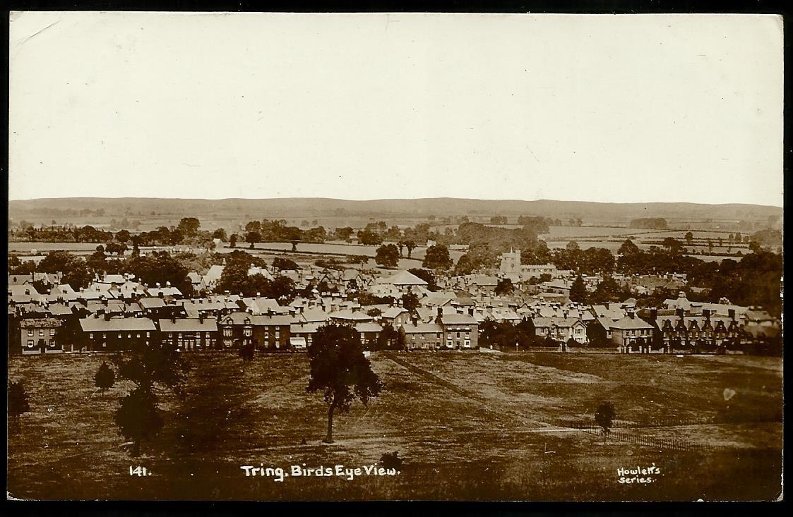
Tring Postcard (Vantage point similar) |

Bluid |
Wednesday 10th of August 2016 10:49:33 AM |