
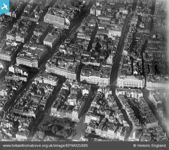
EPW021885 ENGLAND (1928). Oxford Circus, Westminster, 1928
© Copyright OpenStreetMap contributors and licensed by the OpenStreetMap Foundation. 2026. Cartography is licensed as CC BY-SA.
Nearby Images (35)
EPW021885

EPW038463

EPR000200

EPW021945

EPW012747

EPW055355

EPW020956

EPW021947

EPW006000

EPW046654

EPW044587

EAW050861

EPW021948

EPW021934

EAW052487

EAW050838

EAW050853

EAW052488

EPW045398

EPW017689

EPW020957

EPW039582

EAW050836

EPW053003

EPW053008

EAW050869

EAW000485

EAW050841

EAW000560

EPW017684

EAW050856

EPW045389

EPW021404

EAW052489

EAW050864

Details
| Title | [EPW021885] Oxford Circus, Westminster, 1928 |
| Reference | EPW021885 |
| Date | July-1928 |
| Link | |
| Place name | WESTMINSTER |
| Parish | |
| District | |
| Country | ENGLAND |
| Easting / Northing | 529070, 181130 |
| Longitude / Latitude | -0.13972731208233, 51.513849387217 |
| National Grid Reference | TQ291811 |
Pins

Class31 |
Wednesday 10th of September 2014 02:13:48 PM | |

Alan McFaden |
Friday 19th of July 2013 10:17:15 AM |

