
EAW050841 ENGLAND (1953). Oxford Street from Bourne and Hollingsworth Department Store to Oxford Circus, Westminster, 1953

© Copyright OpenStreetMap contributors and licensed by the OpenStreetMap Foundation. 2026. Cartography is licensed as CC BY-SA.
Nearby Images (15)
EAW050841

EAW052489

EAW050864

EAW050863

EAW052490

EAW050860

EAW050849

EAW050851

EPW047236

EPW012747

EPW044587

EPR000200

EPW006000

EPW021885

EPW020956

Details
| Title | [EAW050841] Oxford Street from Bourne and Hollingsworth Department Store to Oxford Circus, Westminster, 1953 |
| Reference | EAW050841 |
| Date | 23-July-1953 |
| Link | |
| Place name | WESTMINSTER |
| Parish | |
| District | |
| Country | ENGLAND |
| Easting / Northing | 529248, 181292 |
| Longitude / Latitude | -0.13710386247141, 51.515264698105 |
| National Grid Reference | TQ292813 |
Pins

Class31 |
Saturday 13th of September 2014 07:29:34 PM | |
|
Class31 |
Saturday 13th of September 2014 07:28:33 PM | |
|
Class31 |
Saturday 13th of September 2014 07:23:10 PM | |

Alan McFaden |
Friday 12th of September 2014 10:45:38 AM |


User Comment Contributions

Oxford Circus, 15/11/2013 |
Class31 |
Saturday 13th of September 2014 07:31:45 PM |

Oxford Circus, 15/11/2013 |
Class31 |
Saturday 13th of September 2014 07:31:10 PM |

Oxford Circus looking north up Regent Street, 23/06/2014 |
Class31 |
Saturday 13th of September 2014 07:22:09 PM |
It's difficult to orientate yourself in a grid iron of streets. |
Class31 |
Friday 12th of September 2014 10:50:45 AM |
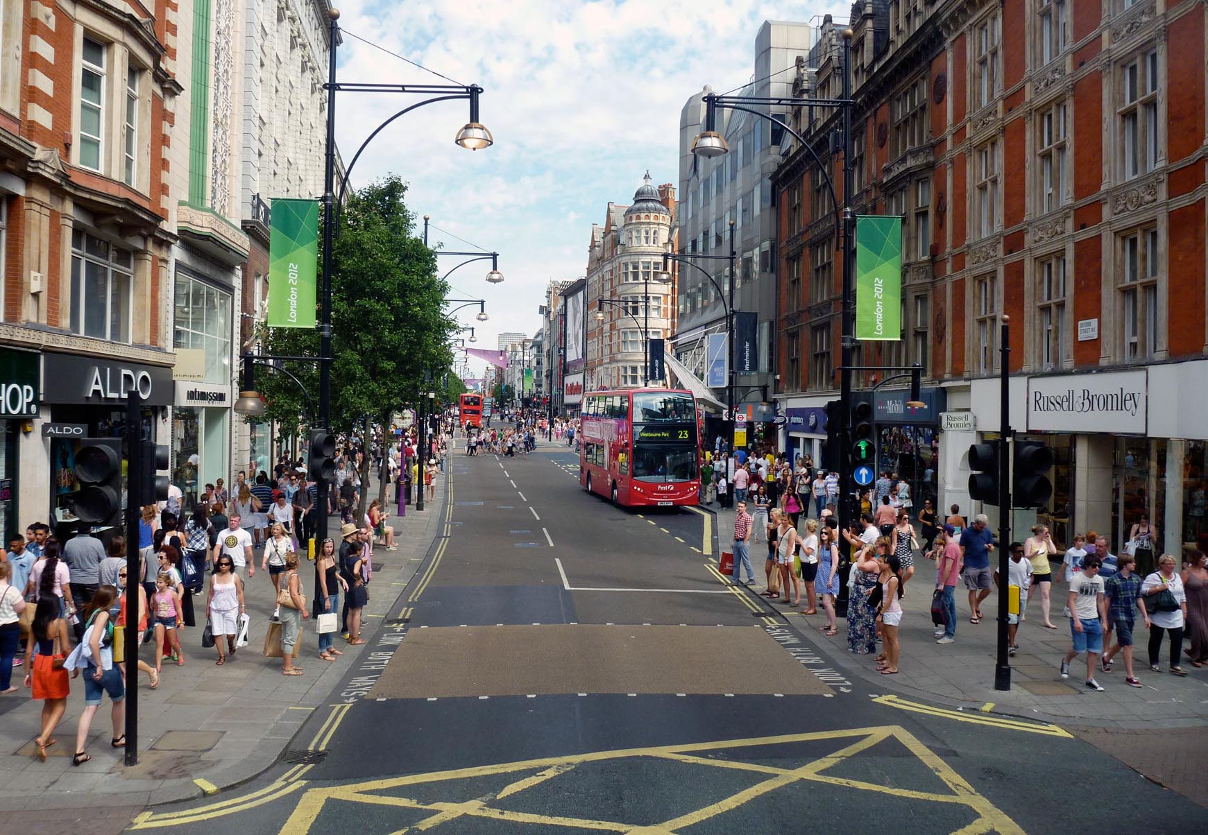
Oxford Street |
Alan McFaden |
Friday 12th of September 2014 10:47:29 AM |
Oxford Street |
Alan McFaden |
Friday 12th of September 2014 10:47:11 AM |
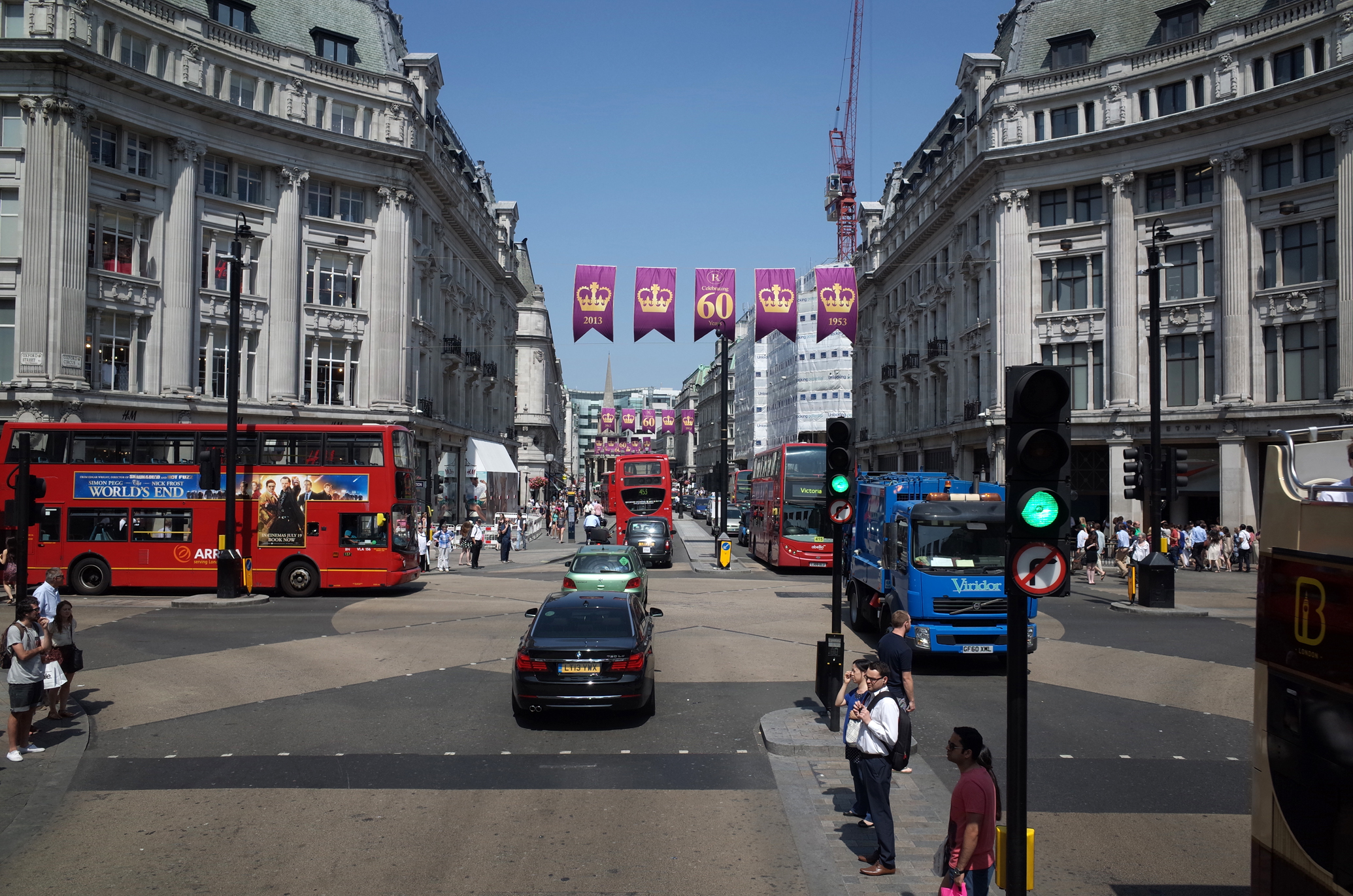
Oxford Circus |
Alan McFaden |
Friday 12th of September 2014 10:46:22 AM |