
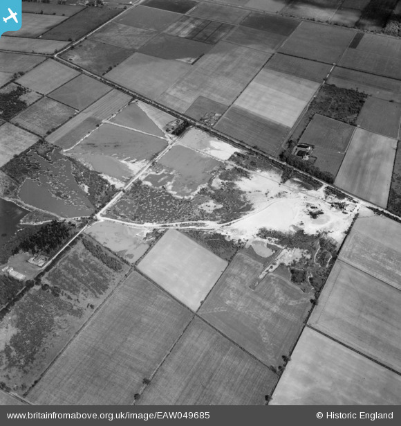
EAW049685 ENGLAND (1953). Quarrying at Blaxton Common, Blaxton, 1953
© Copyright OpenStreetMap contributors and licensed by the OpenStreetMap Foundation. 2025. Cartography is licensed as CC BY-SA.
Nearby Images (15)
EAW049685

EAW049675

EAW047479

EAW049676

EAW047482

EAW043529

EAW047476

EAW043527

EAW043531

EAW049678

EAW047477

EAW047480

EAW043528

EAW047478

EAW043530

Details
| Title | [EAW049685] Quarrying at Blaxton Common, Blaxton, 1953 |
| Reference | EAW049685 |
| Date | 23-May-1953 |
| Link | |
| Place name | BLAXTON |
| Parish | BLAXTON |
| District | |
| Country | ENGLAND |
| Easting / Northing | 468722, 401079 |
| Longitude / Latitude | -0.96382024745366, 53.501660839207 |
| National Grid Reference | SE687011 |
Pins
Be the first to add a comment to this image!