
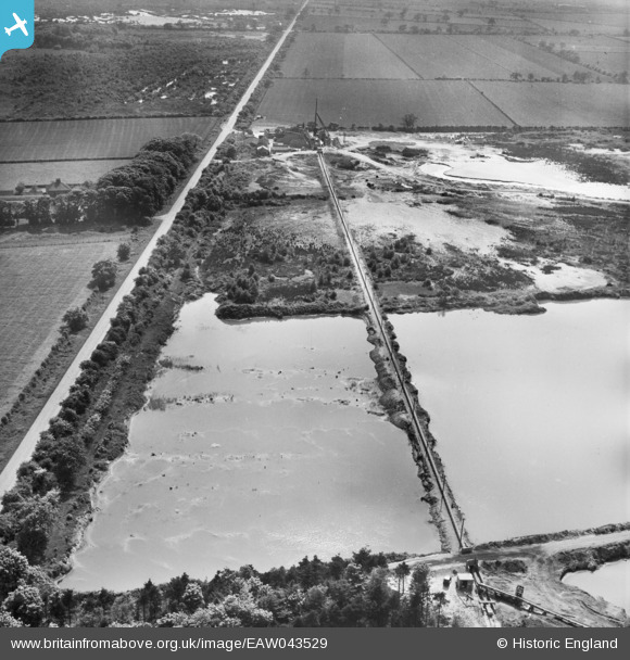
EAW043529 ENGLAND (1952). Blaxton Quarry, Finningley, 1952
© Copyright OpenStreetMap contributors and licensed by the OpenStreetMap Foundation. 2025. Cartography is licensed as CC BY-SA.
Nearby Images (17)
EAW043529

EAW047482

EAW047478

EAW047479

EAW047477

EAW043531

EAW049685

EAW047476

EAW047480

EAW043527

EAW043530

EAW047485

EAW043528

EAW049675

EAW047486

EAW047483

EAW047487

Details
| Title | [EAW043529] Blaxton Quarry, Finningley, 1952 |
| Reference | EAW043529 |
| Date | 21-May-1952 |
| Link | |
| Place name | FINNINGLEY |
| Parish | FINNINGLEY |
| District | |
| Country | ENGLAND |
| Easting / Northing | 468894, 401012 |
| Longitude / Latitude | -0.96124204711127, 53.501036139332 |
| National Grid Reference | SE689010 |
Pins
Be the first to add a comment to this image!