
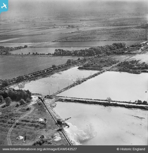
EAW043527 ENGLAND (1952). Blaxton Quarry, Blaxton, from the north, 1952
© Copyright OpenStreetMap contributors and licensed by the OpenStreetMap Foundation. 2025. Cartography is licensed as CC BY-SA.
Nearby Images (11)
EAW043527

EAW047477

EAW043530

EAW049678

EAW047478

EAW047482

EAW049675

EAW043529

EAW049685

EAW047492

EAW049679

Details
| Title | [EAW043527] Blaxton Quarry, Blaxton, from the north, 1952 |
| Reference | EAW043527 |
| Date | 21-May-1952 |
| Link | |
| Place name | BLAXTON |
| Parish | BLAXTON |
| District | |
| Country | ENGLAND |
| Easting / Northing | 468873, 401210 |
| Longitude / Latitude | -0.96151512561725, 53.502818510244 |
| National Grid Reference | SE689012 |
Pins
Be the first to add a comment to this image!