
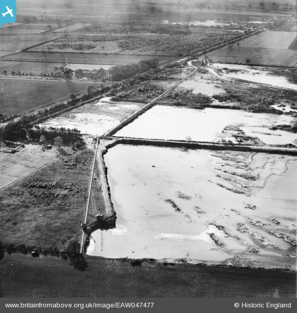
EAW047477 ENGLAND (1952). Sand and Gravel Pits off Wroot Road, Blaxton, 1952
© Copyright OpenStreetMap contributors and licensed by the OpenStreetMap Foundation. 2025. Cartography is licensed as CC BY-SA.
Nearby Images (12)
EAW047477

EAW043527

EAW043530

EAW047478

EAW047482

EAW049678

EAW043529

EAW049675

EAW049685

EAW047492

EAW047479

EAW049679

Details
| Title | [EAW047477] Sand and Gravel Pits off Wroot Road, Blaxton, 1952 |
| Reference | EAW047477 |
| Date | 10-October-1952 |
| Link | |
| Place name | BLAXTON |
| Parish | BLAXTON |
| District | |
| Country | ENGLAND |
| Easting / Northing | 468905, 401190 |
| Longitude / Latitude | -0.9610371040778, 53.502634558567 |
| National Grid Reference | SE689012 |
Pins
Be the first to add a comment to this image!