
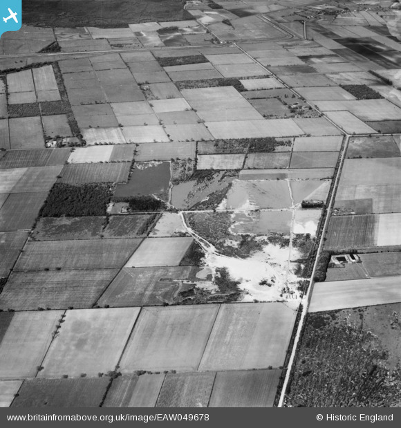
EAW049678 ENGLAND (1953). Blaxton Quarry, Blaxton, 1953
© Copyright OpenStreetMap contributors and licensed by the OpenStreetMap Foundation. 2025. Cartography is licensed as CC BY-SA.
Nearby Images (11)
EAW049678

EAW047492

EAW049675

EAW043527

EAW047477

EAW043530

EAW049679

EAW049685

EAW049681

EAW047478

EAW047482

Details
| Title | [EAW049678] Blaxton Quarry, Blaxton, 1953 |
| Reference | EAW049678 |
| Date | 24-May-1953 |
| Link | |
| Place name | BLAXTON |
| Parish | BLAXTON |
| District | |
| Country | ENGLAND |
| Easting / Northing | 468771, 401279 |
| Longitude / Latitude | -0.96303769533858, 53.503452030462 |
| National Grid Reference | SE688013 |
Pins
 jonron |
Friday 28th of April 2023 01:33:57 PM | |
jonron |
Friday 9th of July 2021 02:38:39 AM | |
jonron |
Friday 9th of July 2021 02:36:46 AM | |
jonron |
Friday 9th of July 2021 02:35:31 AM | |
jonron |
Friday 9th of July 2021 02:34:45 AM | |
jonron |
Friday 9th of July 2021 02:34:15 AM | |
jonron |
Friday 9th of July 2021 02:32:37 AM | |
jonron |
Friday 9th of July 2021 02:31:01 AM |