
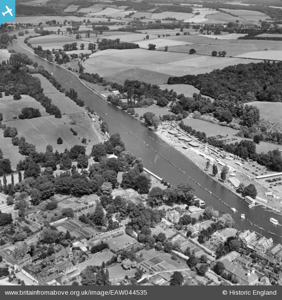
EAW044535 ENGLAND (1952). Henley-on-Thames, the Henley Royal Regatta course, 1952
© Copyright OpenStreetMap contributors and licensed by the OpenStreetMap Foundation. 2026. Cartography is licensed as CC BY-SA.
Nearby Images (31)
EAW044535

EPW035810

EAW024268

EAW024269

EAW044548

EPW008855

EAW044515

EPW008859

EAW044550

EAW024270

EAW024266

EPW008863

EAW044552

EAW044553

EPW008854

EAW044514

EAW044547

EAW044551

EAW044538

EPW008857

EAW044534

EAW044542

EAW044546

EAW044516

EAW044536

EAW044540

EPW008858

EAW024271

EAW044539

EPW008865

EPW008853

Details
| Title | [EAW044535] Henley-on-Thames, the Henley Royal Regatta course, 1952 |
| Reference | EAW044535 |
| Date | 4-July-1952 |
| Link | |
| Place name | HENLEY-ON-THAMES |
| Parish | HENLEY-ON-THAMES |
| District | |
| Country | ENGLAND |
| Easting / Northing | 476462, 183216 |
| Longitude / Latitude | -0.89730507937692, 51.542177319672 |
| National Grid Reference | SU765832 |
Pins
Be the first to add a comment to this image!