
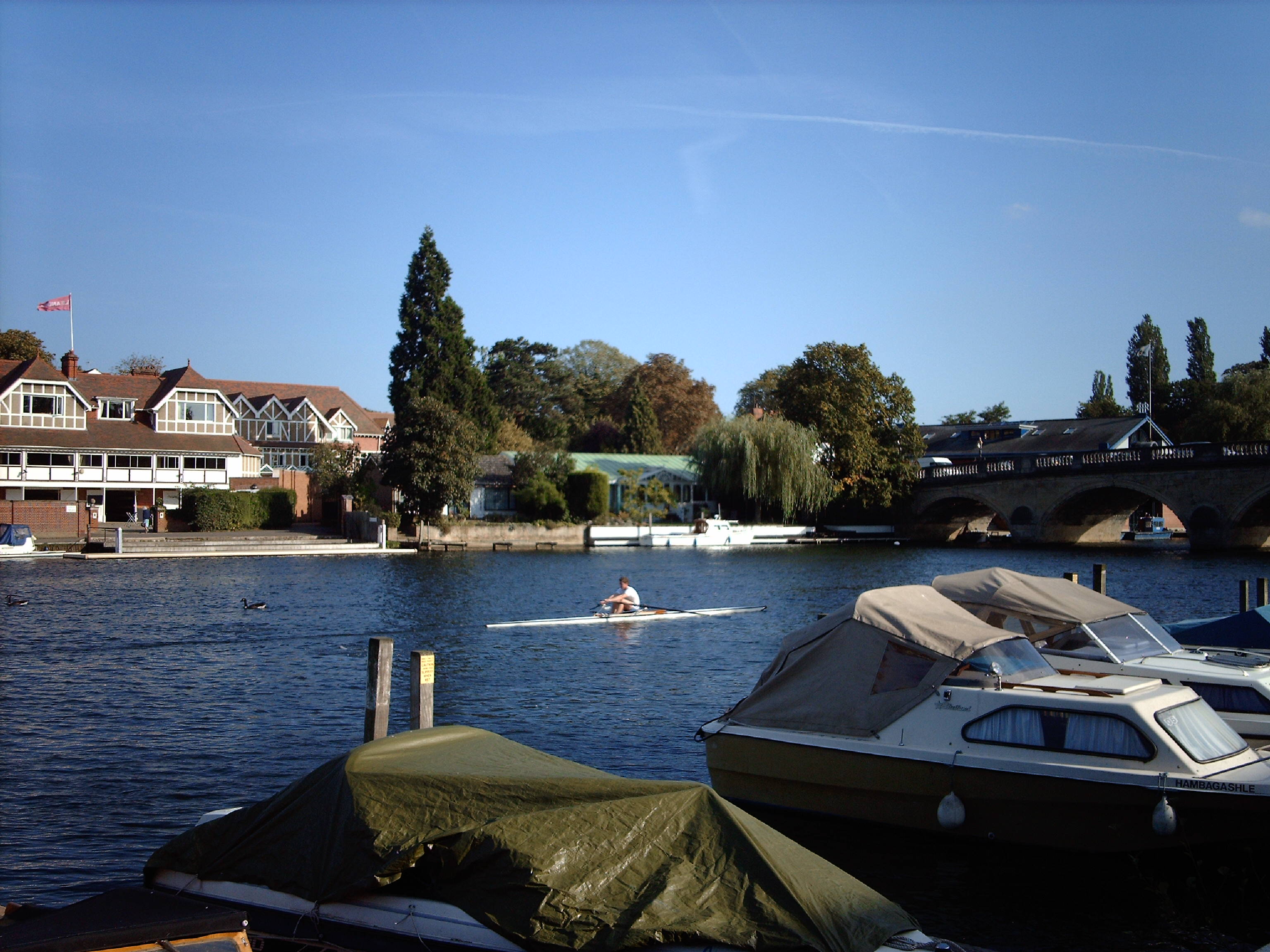
EPW008855 ENGLAND (1923). Henley-on-Thames, the approach to the finish at the Royal Regatta, 1923

© Copyright OpenStreetMap contributors and licensed by the OpenStreetMap Foundation. 2026. Cartography is licensed as CC BY-SA.
Nearby Images (20)
EPW008855

EPW008859

EAW024268

EAW024266

EAW044535

EPW008854

EPW035810

EAW024269

EAW044515

EAW044514

EAW044548

EAW044550

EAW044539

EAW024270

EPW008863

EAW044534

EAW044552

EAW044553

EAW044542

EAW044536

Details
| Title | [EPW008855] Henley-on-Thames, the approach to the finish at the Royal Regatta, 1923 |
| Reference | EPW008855 |
| Date | 7-July-1923 |
| Link | |
| Place name | HENLEY-ON-THAMES |
| Parish | HENLEY-ON-THAMES |
| District | |
| Country | ENGLAND |
| Easting / Northing | 476489, 183291 |
| Longitude / Latitude | -0.8968994717718, 51.542847968182 |
| National Grid Reference | SU765833 |
Pins
Be the first to add a comment to this image!
User Comment Contributions
Henley Bridge 20/09/2006 |

Class31 |
Tuesday 6th of May 2014 01:23:33 PM |