
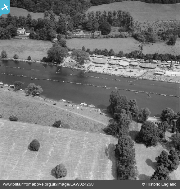
EAW024268 ENGLAND (1949). Henley-on-Thames, The Royal Regatta, 1949
© Copyright OpenStreetMap contributors and licensed by the OpenStreetMap Foundation. 2026. Cartography is licensed as CC BY-SA.
Nearby Images (25)
EAW024268

EPW008855

EAW044535

EPW008859

EPW035810

EAW024269

EAW024266

EAW044548

EAW044515

EPW008854

EAW044550

EAW044514

EAW024270

EPW008863

EAW044539

EAW044552

EAW044553

EAW044534

EAW044547

EAW044542

EAW044551

EAW044538

EPW008857

EAW044546

EAW044536

Details
| Title | [EAW024268] Henley-on-Thames, The Royal Regatta, 1949 |
| Reference | EAW024268 |
| Date | 29-June-1949 |
| Link | |
| Place name | HENLEY-ON-THAMES |
| Parish | HENLEY-ON-THAMES |
| District | |
| Country | ENGLAND |
| Easting / Northing | 476470, 183264 |
| Longitude / Latitude | -0.89717929777888, 51.542607792688 |
| National Grid Reference | SU765833 |
Pins
Be the first to add a comment to this image!