
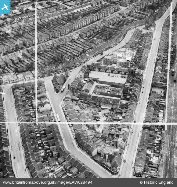
EAW028494 ENGLAND (1950). H.W. Nevill Ltd Bakery on Milkwood Road, Herne Hill, 1950. This image was marked by Aerofilms Ltd for photo editing.
© Copyright OpenStreetMap contributors and licensed by the OpenStreetMap Foundation. 2026. Cartography is licensed as CC BY-SA.
Nearby Images (9)
EAW028494

EAW028490

EAW028495

EAW028493

EAW028497

EAW028496

EAW028492

EAW028491

EAW028498

Details
| Title | [EAW028494] H.W. Nevill Ltd Bakery on Milkwood Road, Herne Hill, 1950. This image was marked by Aerofilms Ltd for photo editing. |
| Reference | EAW028494 |
| Date | 5-April-1950 |
| Link | |
| Place name | HERNE HILL |
| Parish | |
| District | |
| Country | ENGLAND |
| Easting / Northing | 532050, 175259 |
| Longitude / Latitude | -0.098998344604935, 51.460394599392 |
| National Grid Reference | TQ321753 |
Pins

John Wass |
Friday 13th of March 2015 03:41:40 PM | |
|
John Wass |
Friday 13th of March 2015 03:40:38 PM | |
Yes, John - I lived at 88 Milkwood from 1946-ish to 1961, and those exposed walls were VERY cold, and required roaring coal fires to stay even remotely warm! Ron@88 |
Ron@88 |
Thursday 5th of January 2017 11:42:04 AM |
|
John Wass |
Friday 13th of March 2015 03:39:26 PM | |
|
John Wass |
Friday 13th of March 2015 03:38:47 PM |