
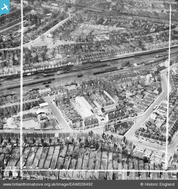
EAW028492 ENGLAND (1950). H.W. Nevill Ltd Bakery on Milkwood Road and environs, Herne Hill, 1950. This image was marked by Aerofilms Ltd for photo editing.
© Copyright OpenStreetMap contributors and licensed by the OpenStreetMap Foundation. 2026. Cartography is licensed as CC BY-SA.
Nearby Images (9)
EAW028492

EAW028496

EAW028498

EAW028495

EAW028493

EAW028491

EAW028490

EAW028497

EAW028494

Details
| Title | [EAW028492] H.W. Nevill Ltd Bakery on Milkwood Road and environs, Herne Hill, 1950. This image was marked by Aerofilms Ltd for photo editing. |
| Reference | EAW028492 |
| Date | 5-April-1950 |
| Link | |
| Place name | HERNE HILL |
| Parish | |
| District | |
| Country | ENGLAND |
| Easting / Northing | 532002, 175241 |
| Longitude / Latitude | -0.099695668354011, 51.460244020059 |
| National Grid Reference | TQ320752 |
Pins

Leslie B |
Tuesday 10th of May 2022 07:33:41 PM | |
|
Leslie B |
Tuesday 10th of May 2022 07:24:45 PM | |
|
Leslie B |
Saturday 30th of April 2022 12:35:55 AM | |
|
John Wass |
Friday 13th of March 2015 03:33:13 PM | |
|
MB |
Monday 24th of February 2014 06:21:33 PM | |
|
MB |
Monday 24th of February 2014 06:20:05 PM | |
Looks like a "C" class, built 1908. In railway terms by 1950 when this picture was taken it would be considered just about "run-in". Most of the class lasted until the end of steam some 17 years later, and one example still works on the "Bluebell" railway. |
John Wass |
Sunday 7th of September 2014 04:09:40 PM |
|
MB |
Monday 24th of February 2014 06:18:44 PM | |
|
MB |
Monday 24th of February 2014 06:18:25 PM |