
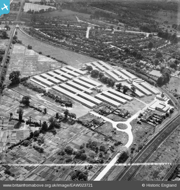
EAW023721 ENGLAND (1949). Government Office Buildings, Hinchley Wood, 1949. This image was marked by Aerofilms Ltd for photo editing.
© Copyright OpenStreetMap contributors and licensed by the OpenStreetMap Foundation. 2026. Cartography is licensed as CC BY-SA.
Nearby Images (7)
EAW023721

EAW023719

EAW023723

EAW023718

EAW023724

EAW023720

EAW023722

Details
| Title | [EAW023721] Government Office Buildings, Hinchley Wood, 1949. This image was marked by Aerofilms Ltd for photo editing. |
| Reference | EAW023721 |
| Date | 12-June-1949 |
| Link | |
| Place name | HINCHLEY WOOD |
| Parish | |
| District | |
| Country | ENGLAND |
| Easting / Northing | 515698, 165798 |
| Longitude / Latitude | -0.33737786895763, 51.378930725061 |
| National Grid Reference | TQ157658 |
Pins

Robert |
Saturday 19th of April 2014 12:49:40 PM | |
|
Graham |
Monday 10th of February 2014 08:14:59 PM | |
|
Graham |
Monday 10th of February 2014 08:13:33 PM | |
|
Graham |
Monday 10th of February 2014 08:12:48 PM | |
|
Gina Phillips |
Friday 20th of December 2013 08:50:03 PM |
User Comment Contributions
Eastmont Road |
Gina Phillips |
Friday 20th of December 2013 08:33:04 PM |
Hinchley Wood station |
Gina Phillips |
Friday 20th of December 2013 08:31:30 PM |