
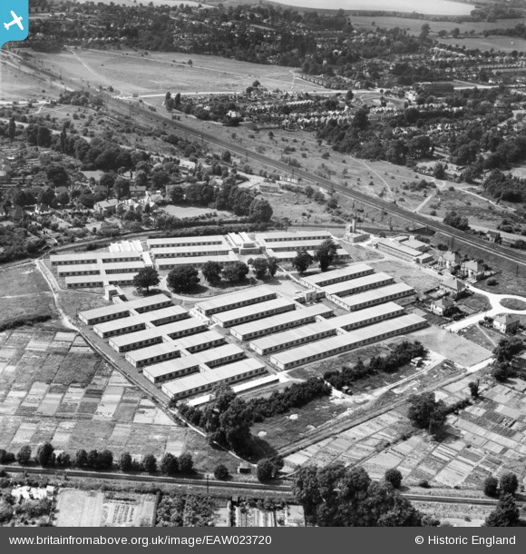
EAW023720 ENGLAND (1949). Government Office Buildings, Hinchley Wood, 1949
© Copyright OpenStreetMap contributors and licensed by the OpenStreetMap Foundation. 2026. Cartography is licensed as CC BY-SA.
Nearby Images (7)
EAW023720

EAW023724

EAW023723

EAW023718

EAW023719

EAW023721

EAW023722

Details
| Title | [EAW023720] Government Office Buildings, Hinchley Wood, 1949 |
| Reference | EAW023720 |
| Date | 12-June-1949 |
| Link | |
| Place name | HINCHLEY WOOD |
| Parish | |
| District | |
| Country | ENGLAND |
| Easting / Northing | 515618, 165806 |
| Longitude / Latitude | -0.33852437432702, 51.379018938774 |
| National Grid Reference | TQ156658 |
Pins
Be the first to add a comment to this image!